What is a High Wind Warning?
A High Wind Warning is an alert issued by the National Weather Service (NWS) to inform the public of conditions that are likely to produce sustained winds or gusts strong enough to cause hazards. Specifically, the NWS defines a High Wind Warning as a situation where sustained winds reach 40 miles per hour or higher, or when wind gusts exceed 58 miles per hour. These thresholds are established to ensure that the warning accurately reflects the potential for damaging winds that could pose a threat to life and property.
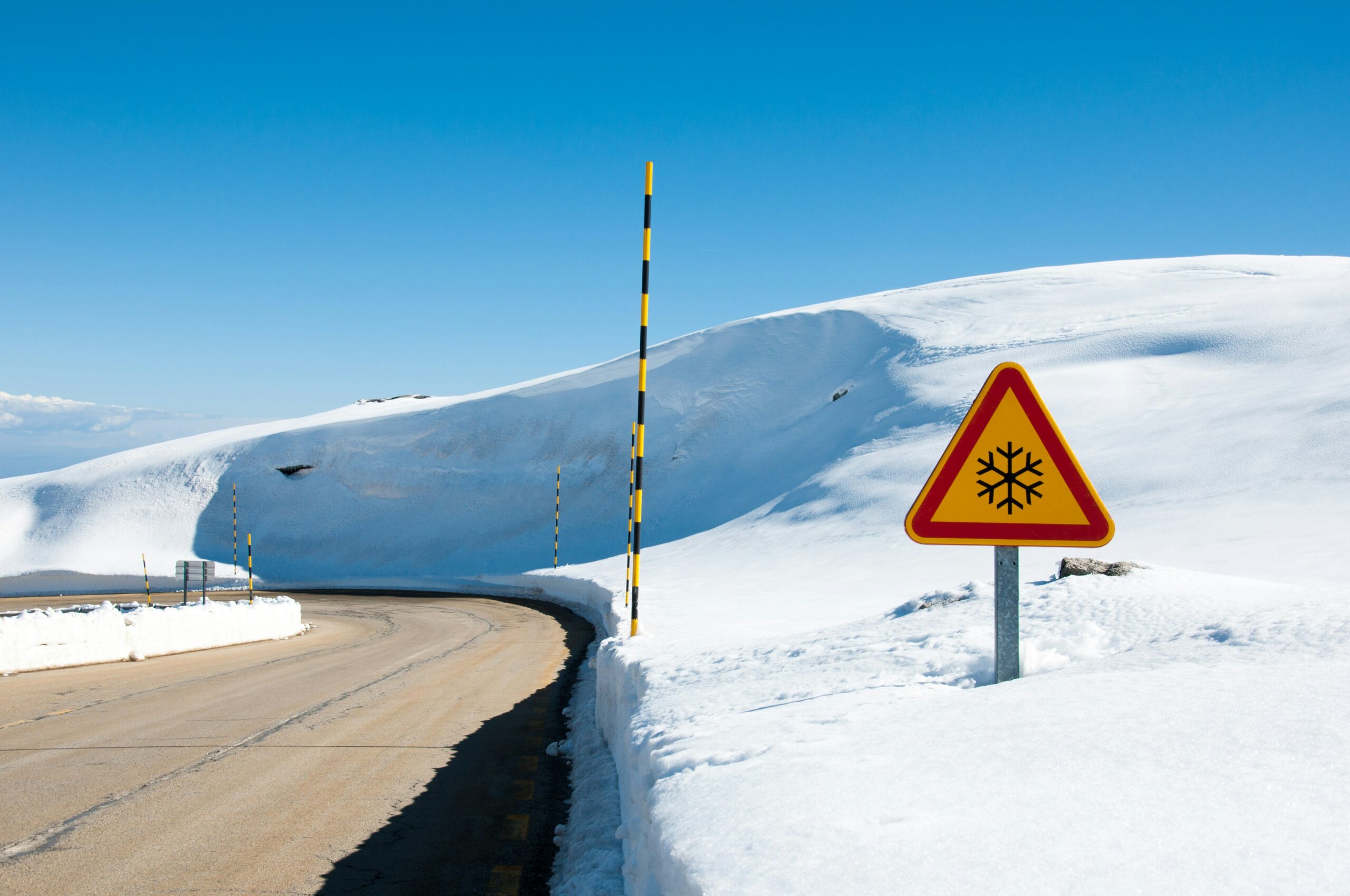
The criteria for issuing a High Wind Warning vary slightly depending on the geographical region, as different areas have distinct wind patterns and susceptibilities. For example, mountainous regions may experience high winds differently due to elevation and topographic influences, while coastal areas may be affected by severe gusts due to proximity to open water. Regardless of location, the primary goal of this warning is to alert residents to take preventative measures against potential dangers associated with high winds.
The impacts of high wind events can be significant. Falling trees and branches, flying debris, power outages, and structural damage are among the most common consequences of high wind conditions. Additionally, high winds can create dangerous driving situations, especially for high-profile vehicles such as trucks, buses, and trailers. It is important for individuals to stay informed and heed these warnings, as they can escalate quickly and lead to hazardous situations.
When a High Wind Warning is issued, it is critical for individuals and communities to prepare adequately. This may include securing outdoor objects, avoiding travel where possible during the warning period, and staying updated on weather forecasts to understand evolving conditions. By recognizing the seriousness of a High Wind Warning and the criteria that define it, individuals can take appropriate actions to safeguard themselves and their property.
How are High Wind Warnings Issued?
The issuance of high wind warnings by the National Weather Service (NWS) is a systematic process that involves the collaboration of meteorologists, advanced technology, and a variety of data sources. Meteorologists play a critical role in assessing atmospheric conditions that can lead to strong winds. They analyze weather patterns, satellite imagery, and meteorological models to predict wind events accurately.
Data sources are vital for understanding current wind conditions and forecasting future events. The NWS collects data from numerous weather stations, radars, and buoys situated across various terrains. This network allows for real-time monitoring of wind speeds and direction, enabling meteorologists to detect potential high wind situations. Additionally, the NWS utilizes numerical weather prediction models, which simulate atmospheric conditions based on current data. These models provide forecasts that help meteorologists make informed decisions regarding high wind warnings.
Technological advancements also significantly enhance forecasting accuracy. For instance, Doppler radar systems allow meteorologists to observe wind patterns and identify rapidly changing conditions. Furthermore, weather satellites provide essential data on cloud cover and atmospheric pressure changes that influence wind patterns. By utilizing technology, meteorologists can better anticipate the onset of high winds, leading to timelier warnings for the public.
Once the criteria for issuing a high wind warning are met—typically sustained winds of 40 mph or greater or gusts of 58 mph or more—the NWS communicates this information through various channels. These include local weather alerts, social media, and automated messaging systems to ensure widespread awareness. The continuous advancements in meteorological science and technology will further enhance the ability of the NWS to protect the public from the dangers associated with high winds.
Understanding Wind Speed Measurements
Wind speed is a critical factor in meteorology, particularly when issuing high wind warnings. Accurate measurement of wind speed plays a crucial role in understanding weather patterns and their potential impact. One of the primary instruments used for this purpose is the anemometer. Anemometers come in various types, such as cup anemometers, which use rotating cups to gauge wind speed, and vane anemometers, which include a rotating blade that aligns with the wind direction. These devices enable meteorologists to obtain precise wind readings at various heights above the ground.
In addition to anemometers, automated weather stations are widely utilized to monitor both wind speed and direction. These stations often incorporate multiple sensors to track various atmospheric conditions, providing a comprehensive overview of weather data. This information is essential for issuing alerts, including high wind warnings, as it allows forecasters to identify areas likely to experience damaging winds.
When interpreting wind measurements, it is important to distinguish between sustained winds and wind gusts. Sustained winds refer to the average wind speed over a specified period, typically measured over one or two minutes. Conversely, wind gusts are sudden, brief increases in speed that can occur within that time frame and may significantly exceed sustained wind speeds. For example, while a weather station might report sustained winds of 30 mph, gusts could reach 50 mph or more. Understanding the difference between these two measurements is vital for assessing the potential dangers posed by high winds.
In the context of high wind warnings, both sustained winds and gusts provide valuable insights into potential hazards. Knowing these distinctions helps individuals and communities better prepare for possible impacts, such as property damage, power outages, and travel disruptions, enhancing overall safety during inclement weather conditions.
Effects of High Winds on Daily Life
High winds can significantly affect various aspects of daily life, posing challenges to transportation, infrastructure, personal safety, and essential services. Understanding these effects is vital for individuals and communities to navigate potential hazards effectively.
Transportation is especially susceptible to the impact of high winds. Vehicles, particularly larger ones such as trucks and buses, face difficulties in maintaining control, which increases the risk of accidents. The National Weather Service frequently issues advisories regarding wind speeds that can render road conditions hazardous. In addition to personal vehicles, public transportation systems often experience delays or cancellations during periods of high winds, disrupting daily commutes and travel plans for countless residents.
Infrastructure, including buildings, bridges, and power lines, may also suffer from the effects of strong winds. Structural damage can occur if wind gusts exceed design specifications. This necessitates rigorous engineering standards for construction, especially in regions prone to severe weather. The aftermath of high winds often includes downed power lines, leading to widespread power outages that can last for hours or even days, further complicating daily life for affected communities.
Personal safety is another crucial concern during high wind events. Flying debris can pose a serious threat, with items such as branches or unsecured outdoor furniture becoming projectiles. It is essential for individuals to take precautions, such as securing outdoor objects and seeking shelter during extreme weather conditions. Additionally, the risk of injury from accidents increases markedly when individuals venture out during windy conditions, necessitating awareness and caution.
In conclusion, the impacts of high winds extend far beyond mere inconvenience. By understanding the potential dangers and disruptions associated with high winds, individuals can better prepare themselves and their communities to mitigate risks effectively.
Safety Tips During High Wind Warnings
High wind warnings signal potentially dangerous conditions that can lead to hazardous situations. It is crucial to take proactive measures to safeguard yourself and your property during such events. One of the primary steps is to secure outdoor items, such as patio furniture, planters, and any loose objects that might become airborne. These items can cause significant damage when propelled by strong winds, either to your property or that of others nearby. Keeping them inside or properly secured to prevent them from becoming projectiles is essential.
When high winds are predicted, it is advisable to avoid unnecessary travel. High profile vehicles, such as trucks and vans, are particularly susceptible to being pushed off course by strong gusts. Moreover, branches or other debris can fall onto roadways, posing serious risks to drivers. If travel is unavoidable, remain vigilant and drive with caution, keeping a safe distance from larger vehicles and maintaining control during sudden gusts.
Staying informed is another critical safety measure during high wind warnings. Utilize reliable sources such as the National Weather Service (NWS) for up-to-date information on wind speeds and safety advice. Weather apps and local news stations can provide real-time updates that may change based on evolving conditions. It is also beneficial to have a portable weather radio on hand in case of power outages or other emergencies. Keeping an emergency kit with essential supplies can provide peace of mind and ensure that you and your family are adequately prepared in the event that high winds lead to power outages or property damage.
As high wind warnings are issued, it is vital to remain vigilant and take necessary precautions to protect yourself and your surroundings effectively.
Understanding the Alerts: Wind Advisory vs. High Wind Warning
When monitoring weather conditions, particularly those associated with strong winds, it is crucial to comprehend the distinctions between a wind advisory and a high wind warning issued by the National Weather Service. Both alerts are designed to inform the public about potentially hazardous weather, but they serve different purposes and convey varying levels of seriousness regarding wind events.
A wind advisory typically indicates that sustained winds are forecasted to reach between 20 to 39 miles per hour, or gusts may exceed 30 miles per hour. This alert serves as a cautionary notice, advising individuals and communities to take precautionary measures due to the potential for minor property damage and difficult driving conditions. While it is important to pay attention to a wind advisory, the overall impact is generally manageable for most people, though it can still create specific challenges, particularly for those operating high-profile vehicles or engaging in outdoor activities.
On the other hand, a high wind warning signifies a much more severe weather condition. This alert is issued when sustained winds are expected to reach or exceed 40 miles per hour, or when gusts are forecasted to be 58 miles per hour or greater. Such intense winds can lead to significant damage to structures, uproot trees, and create hazardous conditions for travel. A high wind warning urges individuals to take immediate action to protect themselves and their property, as the potential for severe consequences is much greater compared to a wind advisory.
Understanding these alerts allows individuals to make informed decisions based on prevailing weather conditions. By recognizing the thresholds that differentiate a wind advisory from a high wind warning, residents can adequately prepare for varying intensity of wind-related events in their area.
Historical Context: Notable High Wind Events
High wind events have played a significant role in shaping the weather patterns and public policy in the United States. One of the most notable occurrences was the Great Blizzard of 1888, which, apart from heavy snowfall, also generated wind gusts reaching up to 80 miles per hour. This event resulted in heavy damage, loss of life, and prompted changes in weather forecasting and emergency management practices. The consequences of this blizzard catalyzed improvements in communication systems and the establishment of more reliable forecasting methods.
Another significant high wind event was the 1938 New England Hurricane, which featured sustained winds of up to 75 miles per hour and gusts exceeding 100 miles per hour. The storm caused widespread destruction, uprooting trees and demolishing buildings. The aftermath of this hurricane spurred rigorous discussions on better coastal infrastructure and hurricane preparedness plans, underscoring the necessity for proactive measures in safeguarding lives and property.
More recently, in 2006, a strong wind event hit the Midwest, leading to powerful gusts that caused severe property damage and disrupted power supply to millions. This incident, along with many others, highlights a trend towards increased frequency and intensity of high wind occurrences, potentially attributed to climate change. Research has shown that warming temperatures may be causing shifts in wind patterns, thus impacting regions that were previously less vulnerable to such extreme weather.
Moreover, the frequency of high wind events has increased in many areas, drawing the attention of both meteorologists and urban planners. Understanding the historical context of these events allows for improved forecasting, better preparedness, and more informed public safety measures. Comprehensive analyses of past wind events can also aid in developing strategies that not only address the immediate impacts but also enhance long-term resilience in susceptible regions.
The Role of Technology in Wind Forecasting
Advancements in technology have significantly transformed the field of meteorology, particularly in the realm of wind forecasting. Modern observation tools and sophisticated models enable meteorologists to predict high wind events with greater accuracy and lead times than ever before. One of the most crucial advancements is the improvement in satellite imaging. Satellites equipped with high-resolution sensors monitor atmospheric conditions across vast areas. This allows forecasters to observe cloud formations, temperature variations, and pressure systems that are essential in assessing potential wind patterns. The latest satellites can also provide real-time data, which is vital for timely warnings.
In addition to satellite technology, the development of advanced modeling software has had a profound impact on wind forecasting. These models simulate weather systems by using complex mathematical equations based on current atmospheric data. Meteorologists rely on these simulations to predict wind speed and direction. Enhanced computing power has facilitated the use of more detailed models, allowing for localized predictions that incorporate various geographical features. As these models evolve, they identify trends and patterns that contribute to a more robust understanding of how high wind events can develop.
Public alert systems have also benefited from technological advancements. The integration of mobile technology and social media platforms ensures that high wind warnings reach a broader audience quickly. Geographic Information Systems (GIS) are now utilized to inform the public about specific areas at risk, enabling residents to prepare accordingly. Furthermore, with the advent of apps that provide push notifications, users can receive real-time updates on changing weather conditions, enhancing community safety during high wind occurrences.
Overall, the integration of advanced satellite imaging, sophisticated modeling software, and improved public alert systems have revolutionized how meteorologists forecast winds. These technologies collectively promote a more informed public, ultimately leading to better preparedness during high wind events.
Resources and Where to Get Updates
When faced with high wind warnings, it is imperative to have access to accurate and timely information. The National Weather Service (NWS) stands as the primary resource for understanding weather-related threats, including high wind events. The NWS website provides real-time updates on weather conditions, safety tips, and educational resources. Their alerts and discussions are critical for individuals seeking information about imminent weather dangers, including the potential impact of high winds.
In addition to the NWS, local weather stations play a vital role in disseminating pertinent information. These stations often provide updates that are tailored to specific regions, enabling residents to make informed decisions based on localized conditions. Many local news outlets maintain dedicated weather sections on their websites, which can offer live coverage of severe weather scenarios. Regularly following these channels can ensure that you remain informed about any changes to high wind warnings in your vicinity.
Safety agencies and local emergency management offices also contribute significantly to the dissemination of information regarding high wind warnings. They provide guidelines on what actions to take if you are at risk, as well as updates on any road closures or shelter options available during severe weather conditions. Engaging with these agencies through their websites or social media can enhance your understanding of the situation and guide your preparedness efforts.
Furthermore, mobile applications that alert users of severe weather conditions can prove invaluable. Many apps are designed to provide push notifications of warnings based on your location, ensuring you receive immediate updates on high wind alerts. Utilizing a combination of these resources will arm you with the information necessary to navigate high wind situations effectively and safely.